Working with scans
One of the challenges coming from the 2019 season is putting together all scan data into one common model. Unfortunately, the software had trouble in 2019 handling the scans from the south end of our excavation area… several Umayyad structures next to the Decumanus Maximus.
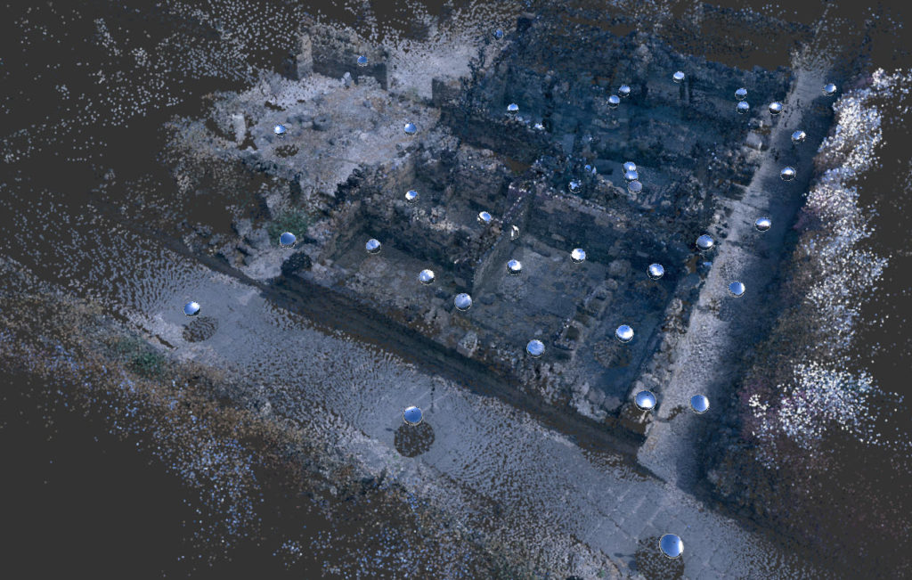
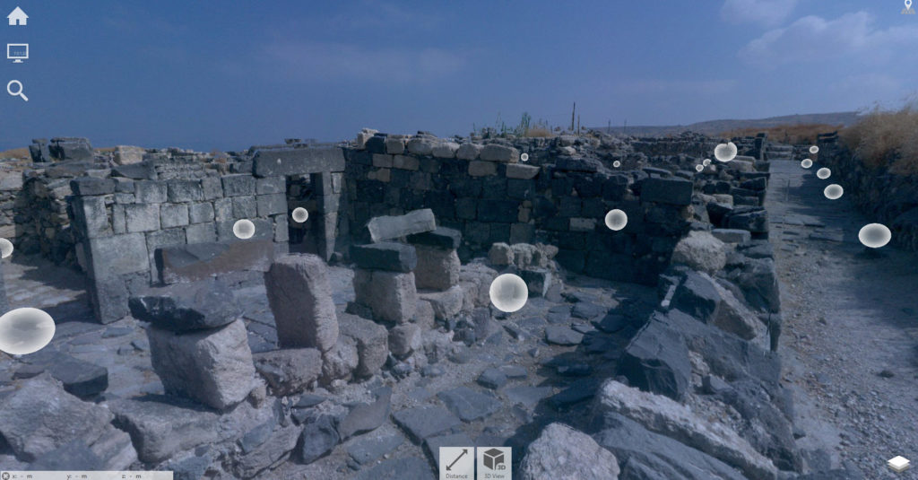
Updated software is allowing me to try and recover this data. Above is a 3D view of the area showing the positions of the scanners. Below is a point cloud preview for the same area (but from a higher angle).

I am reworking the registration and the indexing with the hopes of fully recovering the data.


