Mapping the Project
As stated in an earlier post, my project at the Albright intends to test the analytical framework of Bernard Mulholland as presented in his 2014 work, The Early Byzantine Christian Church : an Archaeological Re-assessment of Forty-Seven Early Byzantine Basilical Church Excavations Primarily in Israel and Jordan, and their Historical and Liturgical Context.
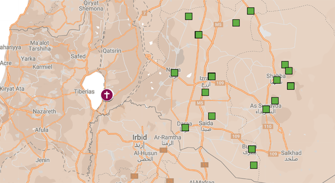
I will double the number of churches examined from 47 to 100 and concentrate in areas surrounding Hippos Palaestines.
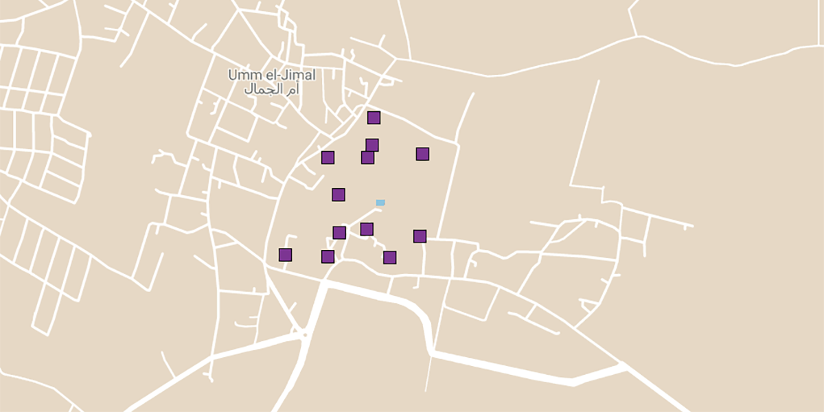
This map plots the sites being examined in the research. Red diamonds are churches examined by Mulholland. Blue squares are additions to the dataset from Palaestina Secunda, the administrative unit of which Hippos was a part. The purple squares are those from Arabia, the province to the east containing most of the other Decapolis cities.
I will gradually add sites and data to this map as the project proceeds.


