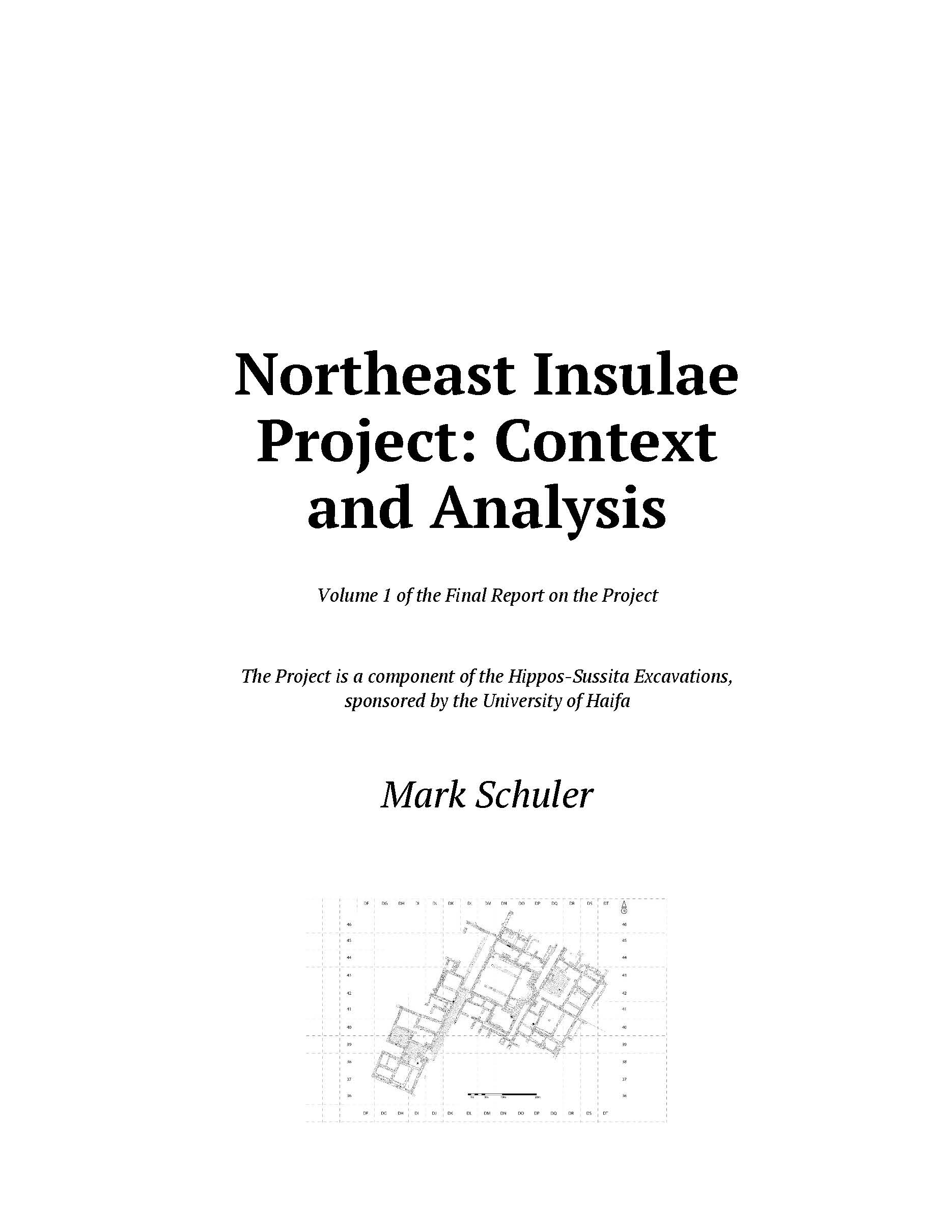
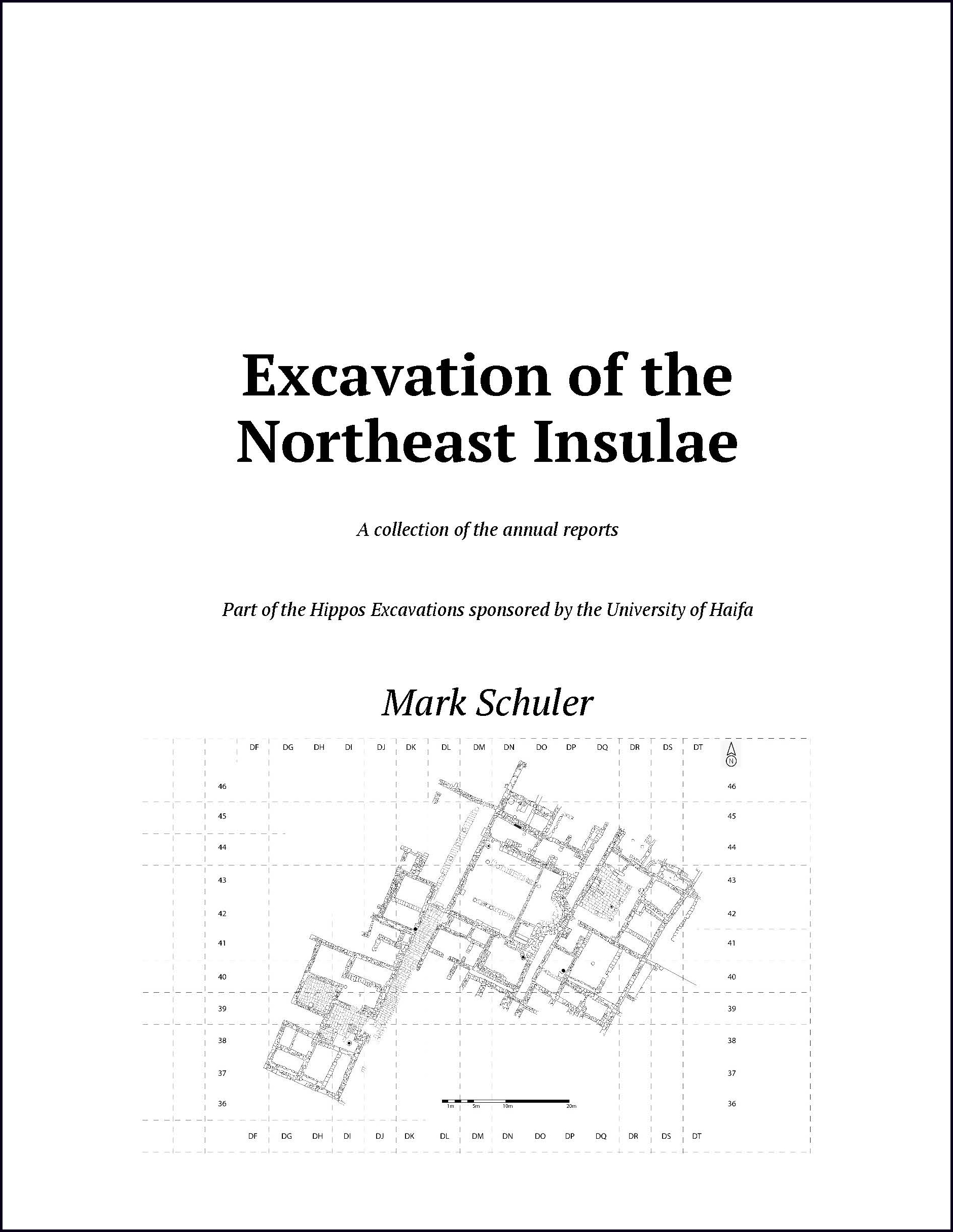
These images take you to the various parts of the Final Report on the Northeast Insulae Project. Two are in a flip-book format and the one in the middle is a 3D model. For the books, click the cover icon to begin reading. Then, if you wish, select the icon on the bottom menu for “full screen.” Please note that the software only loads five pages at a time. Be patient while “flipping.”
Fully downloadable versions optimized for printing are available from the official repository: DigitalCommons@CSP.
According to my sabbatical plan, I was to complete the first draft of the Final Report (both volumes) by 1 October (nine months into the sabbatical). Mission accomplished! I now move to the editorial process, followed by printing and posting.
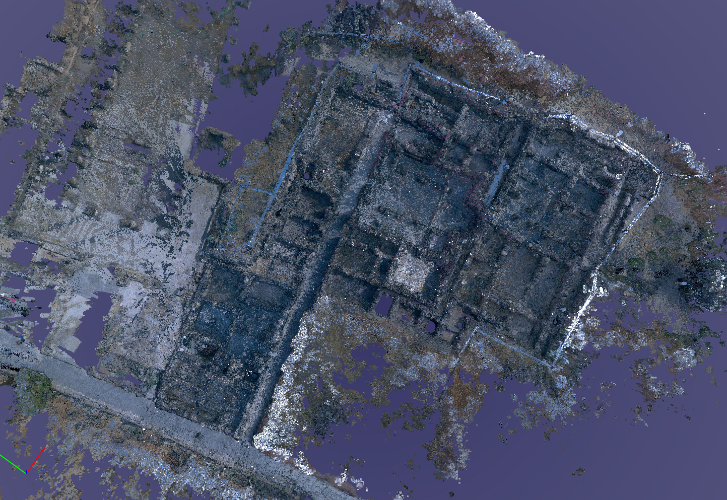
We are pleased to announce a new association with Open Heritage 3D. Open Heritage 3D makes primary 3D cultural heritage data open and accessible. Our model is now viewable and downloadable under a Creative Commons license BY-NC-ND.
As 3D data capture becomes an increasingly common method for the documentation of cultural heritage there has emerged a growing need to assist with the distribution and open access of this growing library of 3D data while maintaining scientific rigor, respecting cultural and ethical sensitivities, enhancing discoverability, and addressing data longevity and archival standards. In response to these areas of need, the Open Heritage 3D project was developed to make primary 3D cultural heritage data open and accessible and remove the barriers for content producers to publish their data. CyArk along with other founding organizations Historic Environment Scotland and the University of South Florida Libraries committed in 2019 to make available their significant repositories of data from legacy as well as new 3D documentation projects. Since then other organizations have joined the initiative, contributing over 200 datasets and we invite others to join the Open Heritage 3D project and contribute their datasets to this growing library of data.
https://openheritage3d.org/about
The Northeast Insulae Project is pleased to join datasets from around the world in preserving and presenting our cultural heritages.
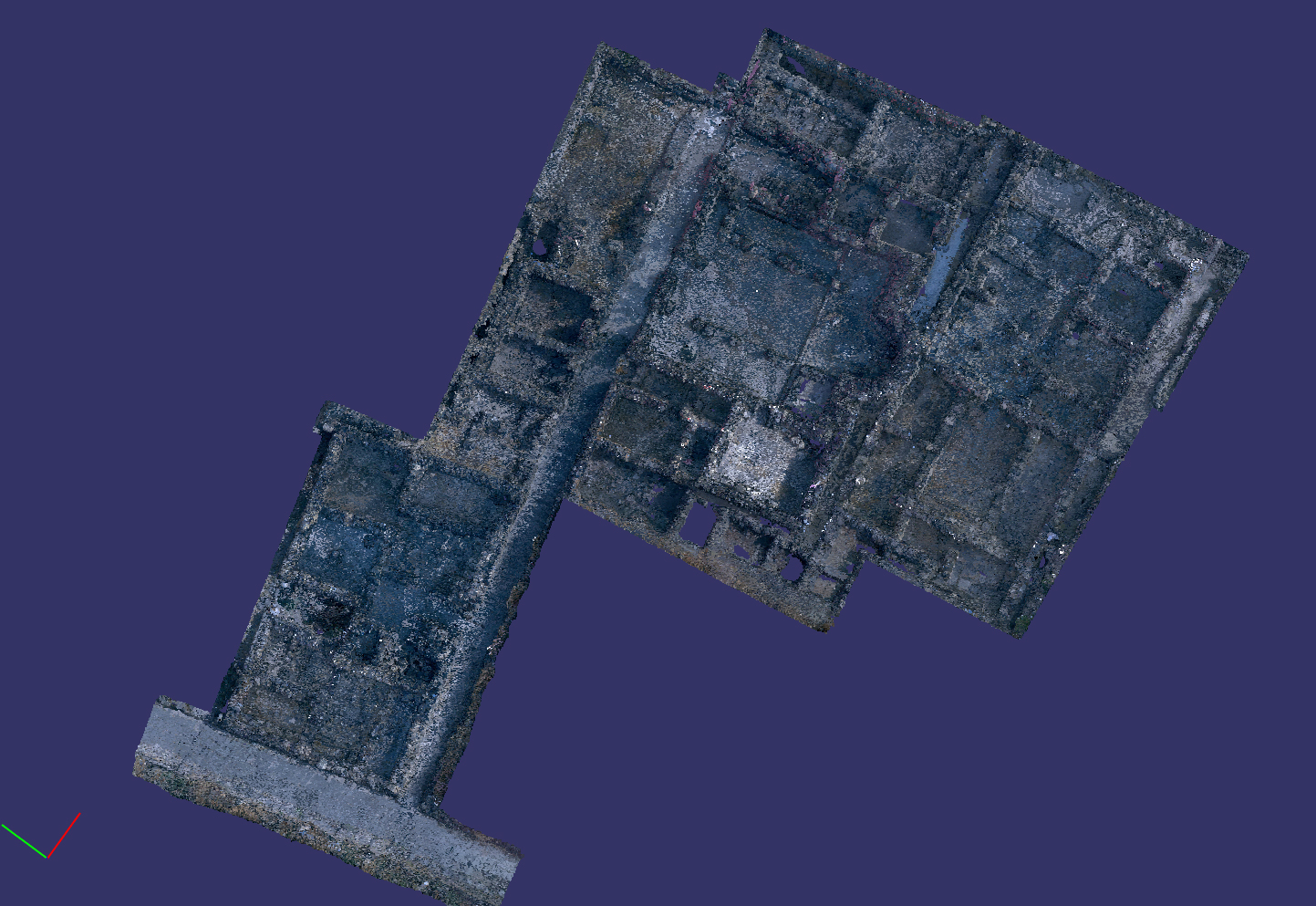
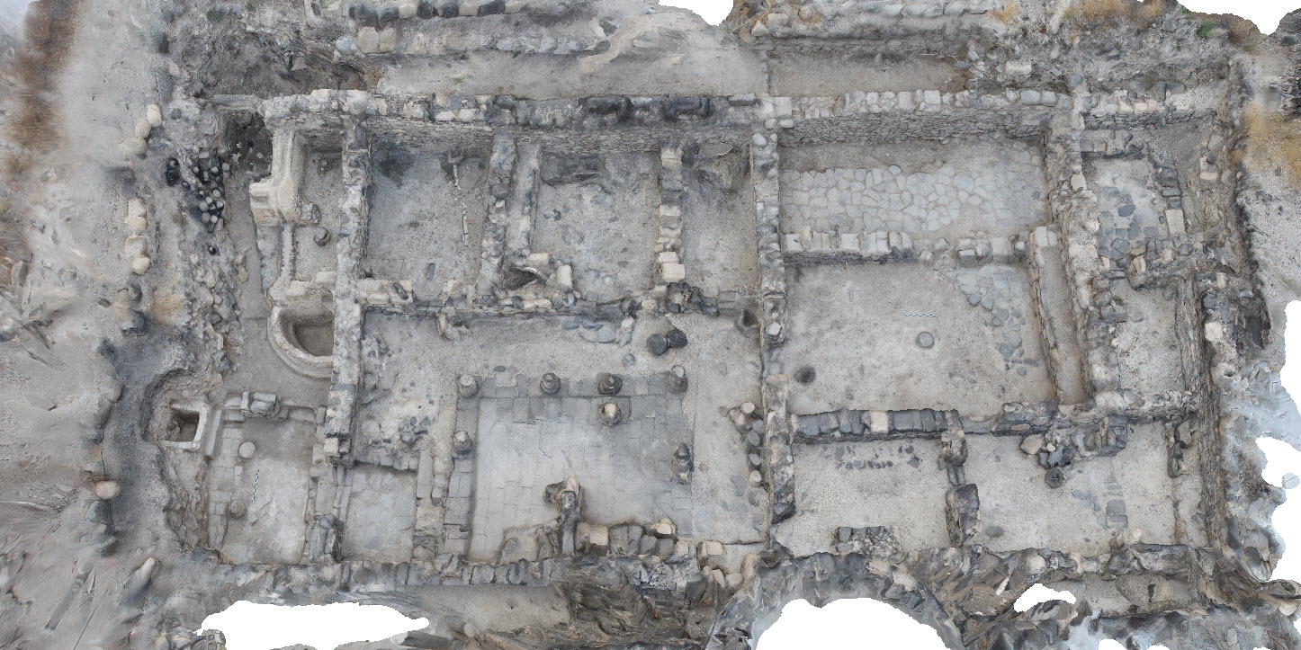
After several weeks of writing, I have this week focused on moving the lidar-based model into a final form. The first finalized iteration includes the entire point cloud and show the northeast insulae in the context of surrounding features.
NIP with basilica to the west.
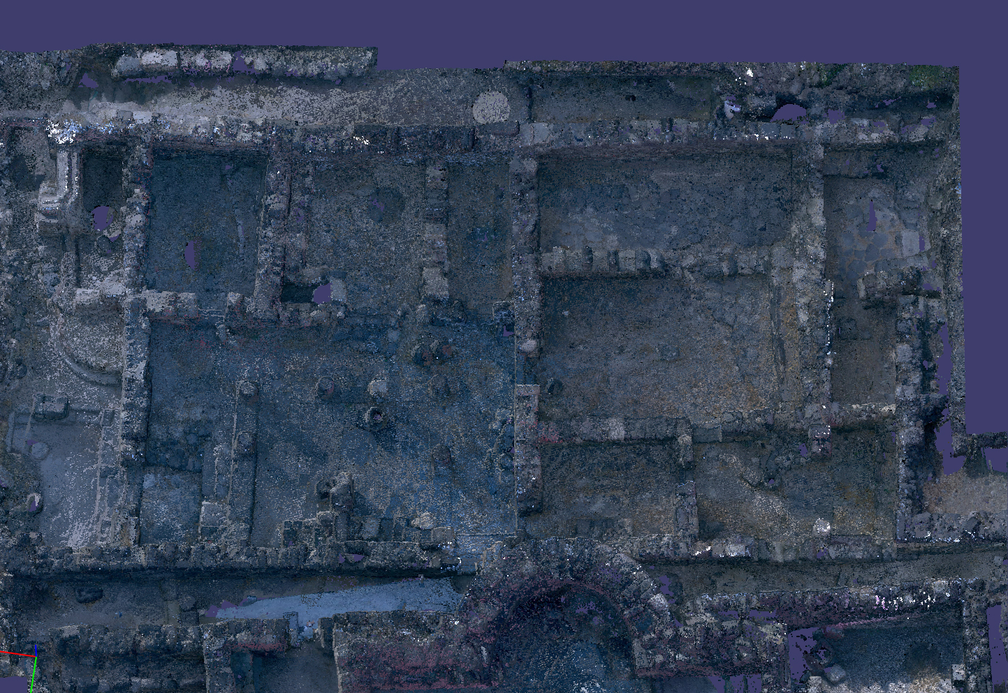
I then spent several days cropping and cleaning up the point cloud to show only the northeast insulae.
Northeast insulae
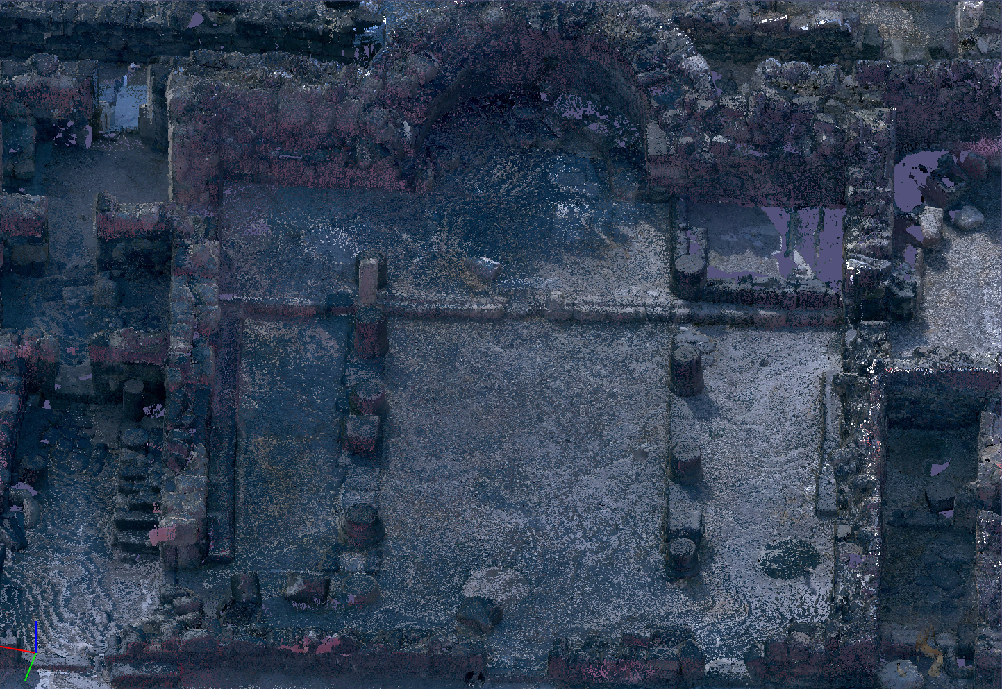
One can orbit and zoom in the model to get at details of the excavation.
Northeast Church
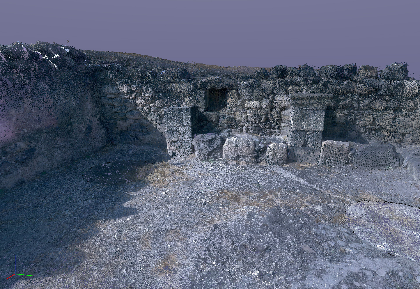
Even fine details are viewable.
South wall and niche from the diakonikon.
There are two ways of building 3D models that we use on the excavation. These examples are made using the lidar methodology. Lidar, which stands for Light Detection and Ranging, is a remote-sensing method that uses light in the form of a pulsed laser to measure ranges (variable distances) to an object. These light pulses generate precise, three-dimensional information about the object.
The second method is photogrammetry. Photogrammetry is the science and technology of obtaining reliable information about physical objects and the environment through the process of recording, measuring and interpreting photographic images. It extracts three-dimensional measurements from two-dimensional data (i.e. images); for example, the distance between two points that lie on a plane parallel to the photographic image plane can be determined by measuring their distance on the image.
Here are two examples of each, the first produced with lidar and the second produced with photogrammetry.
Lidar of the House of TychePhotogrammetry of the House of Tyche
The lidar model moves more easily into CAD applications
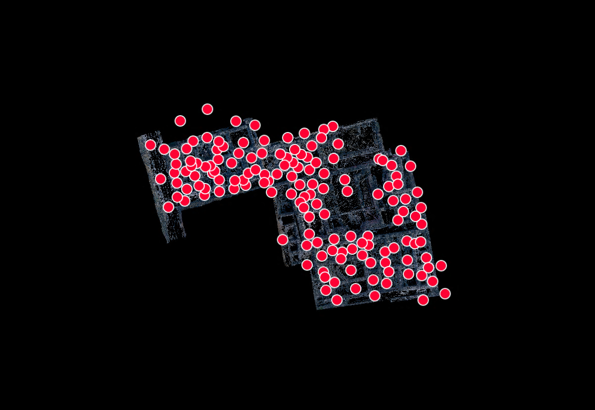
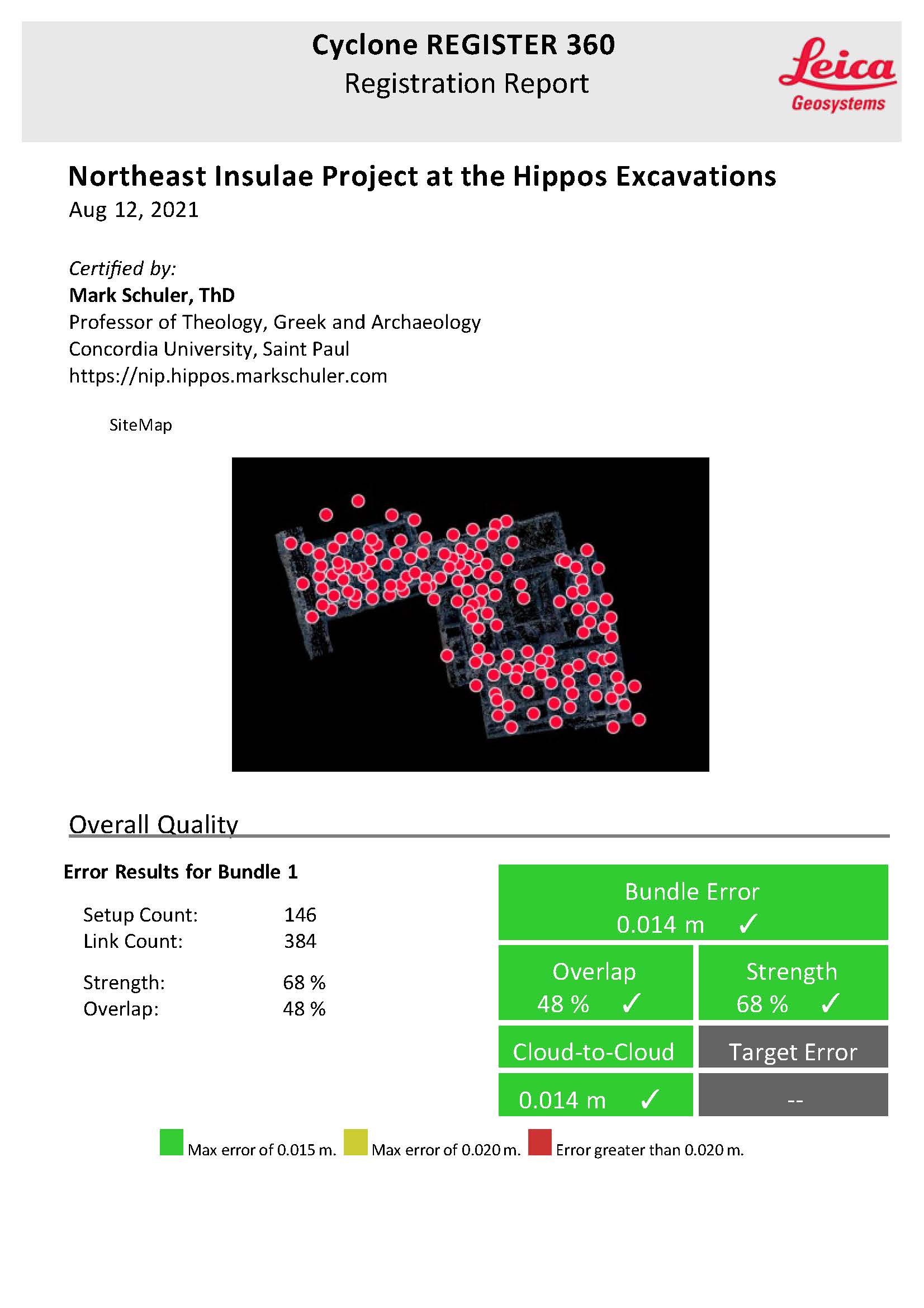
141 scan worlds are used to create the lidar model.
Scan worlds
The registration report attests to the reliability of the end products.
We use cookies to optimize our website and our service.
Functional
Always active
The technical storage or access is strictly necessary for the legitimate purpose of enabling the use of a specific service explicitly requested by the subscriber or user, or for the sole purpose of carrying out the transmission of a communication over an electronic communications network.
Preferences
The technical storage or access is necessary for the legitimate purpose of storing preferences that are not requested by the subscriber or user.
Statistics
The technical storage or access that is used exclusively for statistical purposes.The technical storage or access that is used exclusively for anonymous statistical purposes. Without a subpoena, voluntary compliance on the part of your Internet Service Provider, or additional records from a third party, information stored or retrieved for this purpose alone cannot usually be used to identify you.
Marketing
The technical storage or access is required to create user profiles to send advertising, or to track the user on a website or across several websites for similar marketing purposes.