Tour the NIP
This video is based on our lidar model and gives you a sense of the Northeast Insulae Project.
This video is based on our lidar model and gives you a sense of the Northeast Insulae Project.
This model is viewable via Sketchfab. It is based on scans done in 2019.
After several weeks of writing, I have this week focused on moving the lidar-based model into a final form. The first finalized iteration includes the entire point cloud and show the northeast insulae in the context of surrounding features.
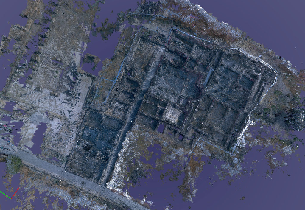
I then spent several days cropping and cleaning up the point cloud to show only the northeast insulae.
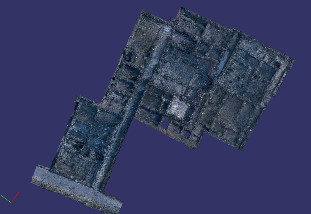
One can orbit and zoom in the model to get at details of the excavation.
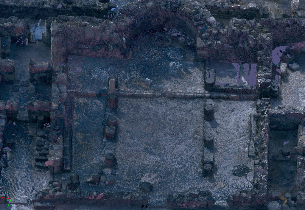
Even fine details are viewable.
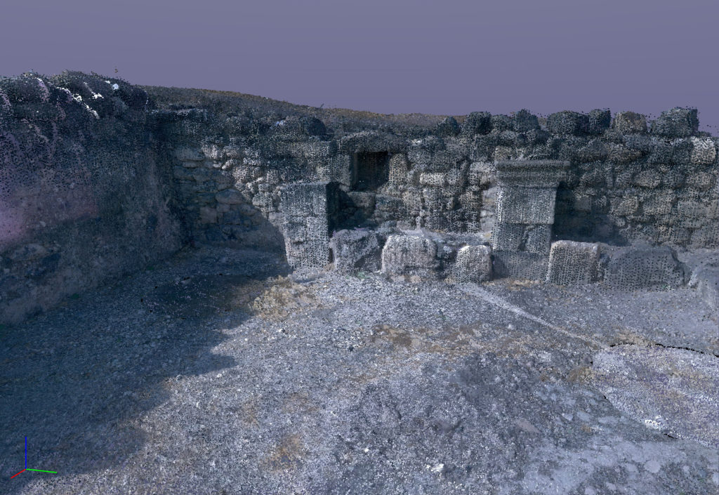
There are two ways of building 3D models that we use on the excavation. These examples are made using the lidar methodology. Lidar, which stands for Light Detection and Ranging, is a remote-sensing method that uses light in the form of a pulsed laser to measure ranges (variable distances) to an object. These light pulses generate precise, three-dimensional information about the object.
The second method is photogrammetry. Photogrammetry is the science and technology of obtaining reliable information about physical objects and the environment through the process of recording, measuring and interpreting photographic images. It extracts three-dimensional measurements from two-dimensional data (i.e. images); for example, the distance between two points that lie on a plane parallel to the photographic image plane can be determined by measuring their distance on the image.
Here are two examples of each, the first produced with lidar and the second produced with photogrammetry.
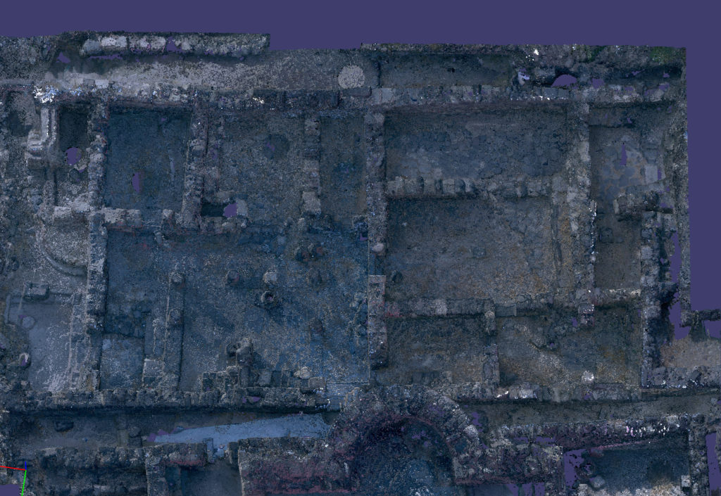
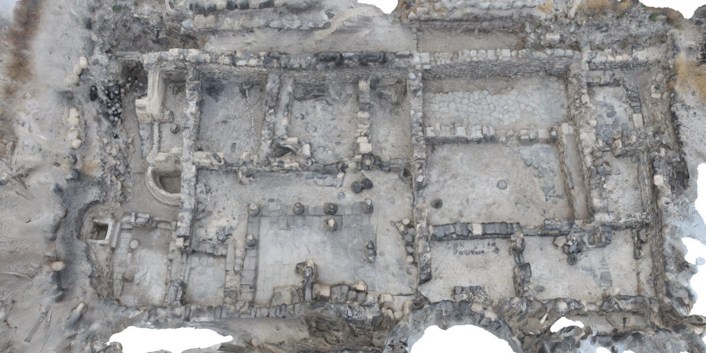
The lidar model moves more easily into CAD applications
141 scan worlds are used to create the lidar model.
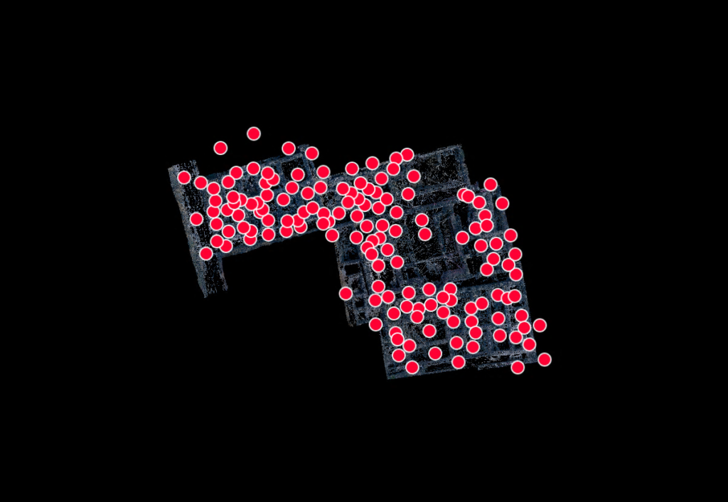
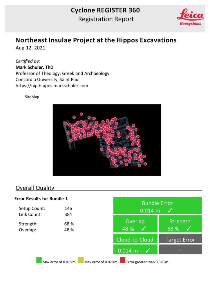
The registration report attests to the reliability of the end products.
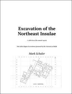
As June ends, I have finished a draft of the Excavation of the Northeast Insulae, a history of the project. Beginning with the annual reports from each of the seasons, I rewrote the material for consistency of terminology and presentation. I added additional images, and I double-checked all footnotes by putting them into a Zotero database and building the citations and bibliography from that database. This book-length document has twenty pages of introductory material and 269 pages of content including the bibliography.
I will soon turn my attention to the second volume of this Final Report that will provide context for and conclusions from the work done by the Concordia Team at Hippos of the Decapolis.
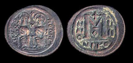
I have gathered together pertinent material from the coin reports from 2002-2016. Forty-five identifiable coins come from the Northeast Insulae Project. The coins re-affirm our reconstruction of the occupational history of the insulae.
Click to see a list of the coins sorted chronologically.
Click to read a narrative summarizing the implications of the coin finds.